
国土地理院地図で過去の空中写真を見る
= 初期設定・国会議事堂周辺 =
- ここでは、 国土地理院地図が公開する過去の空中写真を中心に、様々な地図を見てみます。
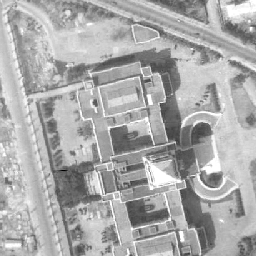
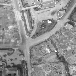
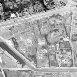
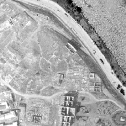
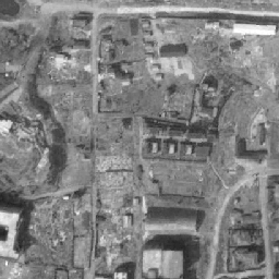
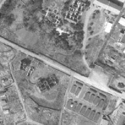
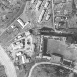
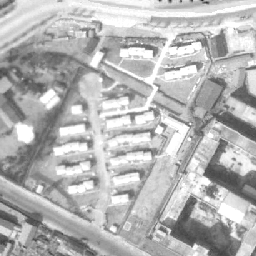
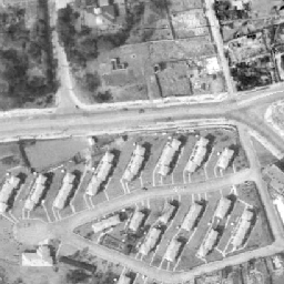
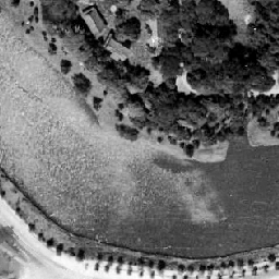
- 初期設定は、太平洋戦争終結の年の 1945年(昭和20年)から、5年後の 1950年(昭和25年)にかけて撮影された空中写真で、国会議事堂周辺です。
- 白地図のズームレベルは 5~14、Englishのズームレベルは 5~11 です。これ以外の設定では、Open Street Map が表示される場合があります。
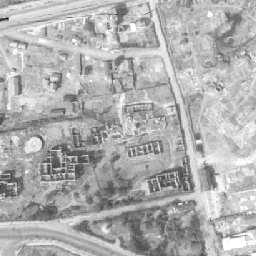
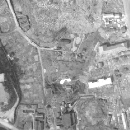
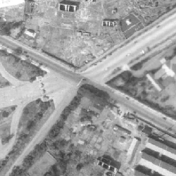
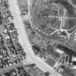
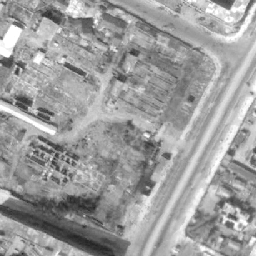
- 地理院写真は、下記の写真が表示されます。
- 1936年頃、1945~50年、1961~69年、1974~78年、1979~83年、1984~86年、1988~90年、2004年~、2007年~、現在。
- 地図右上のアイコン(
 )をクリックして地図を選択することができます。
 - 地図左上のマーカー(
 )をクリックすると「現在地」へ移動します。「現在地」は、ご利用のプロバイダーのIPアドレス情報を使い大まかな位置情報を割り出すため、必ずしも正確な位置を表示するとは限りません。また、ブラウザーによっては作動しない場合もあります。


地図について(出典など)
- 当サイトでは、国土地理院が提供する「地理院タイル」や、「OpenStreetMap」などを使用しています。ご利用に当たっては「地理院コンテンツ利用規約」「OpenStreetMap」などをご覧ください。それぞれの地図は、表示される縮尺が限られるもの、地域が限定されるものなどがあります。ここでは、地図の利用に当たって出典の明示が義務づけられているものの内、地図上に表示されるもの以外の出典、および凡例などを示します。このお知らせは、地理院タイルを利用する全てのページにおける共通のものであり、現在のページにおいて下記の地図の全てが表示されるとは限りません。
- ズームレベル 5~8:「The bathymetric contours are derived from those contained within the GEBCO Digital Atlas, published by the BODC on behalf of IOC and IHO (2003) (http://www.gebco.net)
海上保安庁許可第292502号(水路業務法第25条に基づく類似刊行物)」 - Shoreline data is derived from: United States. National Imagery and Mapping Agency. "Vector Map Level 0 (VMAP0)." Bethesda, MD: Denver, CO: The Agency; USGS Information Services, 1997.
- ズームレベル 5~8:Shoreline data is derived from: United States. National Imagery and Mapping Agency. "Vector Map Level 0 (VMAP0)." Bethesda, MD: Denver, CO: The Agency; USGS Information Services, 1997.
- ズームレベル 2~8:Shoreline data is derived from: United States. National Imagery and Mapping Agency. "Vector Map Level 0 (VMAP0)." Bethesda, MD: Denver, CO: The Agency; USGS Information Services, 1997.
- ズームレベル 5~8:「The bathymetric contours are derived from those contained within the GEBCO Digital Atlas, published by the BODC on behalf of IOC and IHO (2003) (http://www.gebco.net)
海上保安庁許可第292502号(水路業務法第25条に基づく類似刊行物)」
Shoreline data is derived from: United States. National Imagery and Mapping Agency. "Vector Map Level 0 (VMAP0)." Bethesda, MD: Denver, CO: The Agency; USGS Information Services, 1997. - Geospatil Information Authority of Japan (GSI)
《地理院写真》- ズームレベル 9~13:Landsat8画像(GSI,TSIC,GEO Grid/AIST), Landsat8画像(courtesy of the U.S. Geological Survey), 海底地形(GEBCO)
- ズームレベル 2~8:Images on 世界衛星モザイク画像 obtained from site https://lpdaac.usgs.gov/data_access maintained by the NASA Land Processes Distributed Active Archive Center (LP DAAC), USGS/Earth Resources Observation and Science (EROS) Center, Sioux Falls, South Dakota, (Year). Source of image data product.
《地理院色別標高図》ズームレベル 5~15- 海域部は海上保安庁海洋情報部の資料を使用して作成.
- ズームレベル 5~8:「The bathymetric contours are derived from those contained within the GEBCO Digital Atlas, published by the BODC on behalf of IOC and IHO (2003) (http://www.gebco.net)
スポンサーリンク
スポンサーリンク
おすすめサイト・関連サイト…
スポンサーリンク