
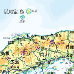
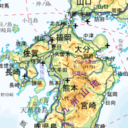
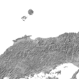
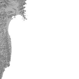
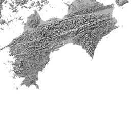
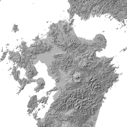
地図で見る
|
- データは、国土地理院の「日本の主な山岳標高」によります。詳細は「国土地理院 」でご確認ください。
- 表は高さの順位ではありません。富士山を除いて緯度の高い順から並んでいます。
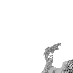
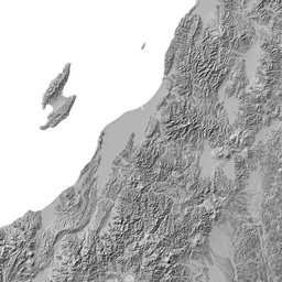
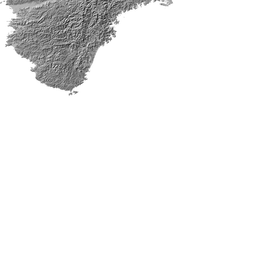
- このページでの地図の初期設定は、地理院地図に陰影起伏図を重ねています。
| 山名〈山頂名〉 | 所在等 | 標高 | 緯度、経度 |
|---|---|---|---|
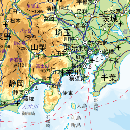
| 富士山とその周辺 | 3776m | 35度21分39秒 138度43分39秒 |
|
| 飛驒山脈北部 | 3015m | 36度34分33秒 137度37分11秒 |
|
| 飛驒山脈南部 | 3180m | 36度20分31秒 137度38分51秒 |
|
| 飛驒山脈南部 | 3101m | 36度20分09秒 137度38分45秒 |
|
| 飛驒山脈南部 | 3084m | 36度19分47秒 137度38分48秒 |
|
| 飛驒山脈南部 | 3033m | 36度19分08秒 137度39分03秒 |
|
| 飛驒山脈南部 | 3106m | 36度18分09秒 137度39分07秒 |
|
| 飛驒山脈南部 | 3110m | 36度17分45秒 137度38分49秒 |
|
| 飛驒山脈南部 | 3190m | 36度17分21秒 137度38分53秒 |
|
| 飛驒山脈南部 | 3090m | 36度16分55秒 137度39分38秒 |
|
| 飛驒山脈南部 | 3026m | 36度06分23秒 137度33分13秒 |
|
| 御嶽山とその周辺 | 3067m | 35度53分34秒 137度28分49秒 |
|
| 赤石山脈北部 | 3033m | 35度43分12秒 138度11分01秒 |
|
| 赤石山脈北部(白根山) | 3193m | 35度40分28秒 138度14分20秒 |
|
| 赤石山脈北部(白根山) | 3190m | 35度38分46秒 138度13分42秒 |
|
| 赤石山脈北部(白根山) | 3051m | 35度37分29秒 138度13分49秒 |
|
| 赤石山脈北部(白根山) | 3026m | 35度37分16秒 138度14分13秒 |
|
| 赤石山脈北部 | 3052m | 35度34分23秒 138度11分01秒 |
|
(あずまだけ/ |
赤石山脈南部 | 3141m | 35度30分03秒 138度10分57秒 |
| 赤石山脈南部 | 3084m | 35度29分48秒 138度10分01秒 |
|
| 赤石山脈南部 | 3068m | 35度29分39秒 138度09分51秒 |
|
| 赤石山脈南部 | 3121m | 35度27分40秒 138度09分26秒 |
|
| 赤石山脈南部 | 3013m | 35度25分22秒 138度08分23秒 |
《日本の標高 3,000m 以上の山》


地図について(出典など)
- 当サイトでは、国土地理院が提供する「地理院タイル」や、「OpenStreetMap」などを使用しています。ご利用に当たっては「地理院コンテンツ利用規約」「OpenStreetMap」などをご覧ください。それぞれの地図は、表示される縮尺が限られるもの、地域が限定されるものなどがあります。ここでは、地図の利用に当たって出典の明示が義務づけられているものの内、地図上に表示されるもの以外の出典、および凡例などを示します。このお知らせは、地理院タイルを利用する全てのページにおける共通のものであり、現在のページにおいて下記の地図の全てが表示されるとは限りません。
- ズームレベル 5~8:「The bathymetric contours are derived from those contained within the GEBCO Digital Atlas, published by the BODC on behalf of IOC and IHO (2003) (http://www.gebco.net)
海上保安庁許可第292502号(水路業務法第25条に基づく類似刊行物)」 - Shoreline data is derived from: United States. National Imagery and Mapping Agency. "Vector Map Level 0 (VMAP0)." Bethesda, MD: Denver, CO: The Agency; USGS Information Services, 1997.
- ズームレベル 5~8:Shoreline data is derived from: United States. National Imagery and Mapping Agency. "Vector Map Level 0 (VMAP0)." Bethesda, MD: Denver, CO: The Agency; USGS Information Services, 1997.
- ズームレベル 2~8:Shoreline data is derived from: United States. National Imagery and Mapping Agency. "Vector Map Level 0 (VMAP0)." Bethesda, MD: Denver, CO: The Agency; USGS Information Services, 1997.
- ズームレベル 5~8:「The bathymetric contours are derived from those contained within the GEBCO Digital Atlas, published by the BODC on behalf of IOC and IHO (2003) (http://www.gebco.net)
海上保安庁許可第292502号(水路業務法第25条に基づく類似刊行物)」
Shoreline data is derived from: United States. National Imagery and Mapping Agency. "Vector Map Level 0 (VMAP0)." Bethesda, MD: Denver, CO: The Agency; USGS Information Services, 1997. - Geospatil Information Authority of Japan (GSI)
《地理院写真》- ズームレベル 9~13:Landsat8画像(GSI,TSIC,GEO Grid/AIST), Landsat8画像(courtesy of the U.S. Geological Survey), 海底地形(GEBCO)
- ズームレベル 2~8:Images on 世界衛星モザイク画像 obtained from site https://lpdaac.usgs.gov/data_access maintained by the NASA Land Processes Distributed Active Archive Center (LP DAAC), USGS/Earth Resources Observation and Science (EROS) Center, Sioux Falls, South Dakota, (Year). Source of image data product.
《地理院色別標高図》ズームレベル 5~15- 海域部は海上保安庁海洋情報部の資料を使用して作成.
- ズームレベル 5~8:「The bathymetric contours are derived from those contained within the GEBCO Digital Atlas, published by the BODC on behalf of IOC and IHO (2003) (http://www.gebco.net)
スポンサーリンク
スポンサーリンク
おすすめサイト・関連サイト…
スポンサーリンク